Lease Plans are an essential element in the process of purchasing and selling land. HM Land Registry requires accurate and high-quality plans that provide a clear understanding of the land’s boundaries and extent.
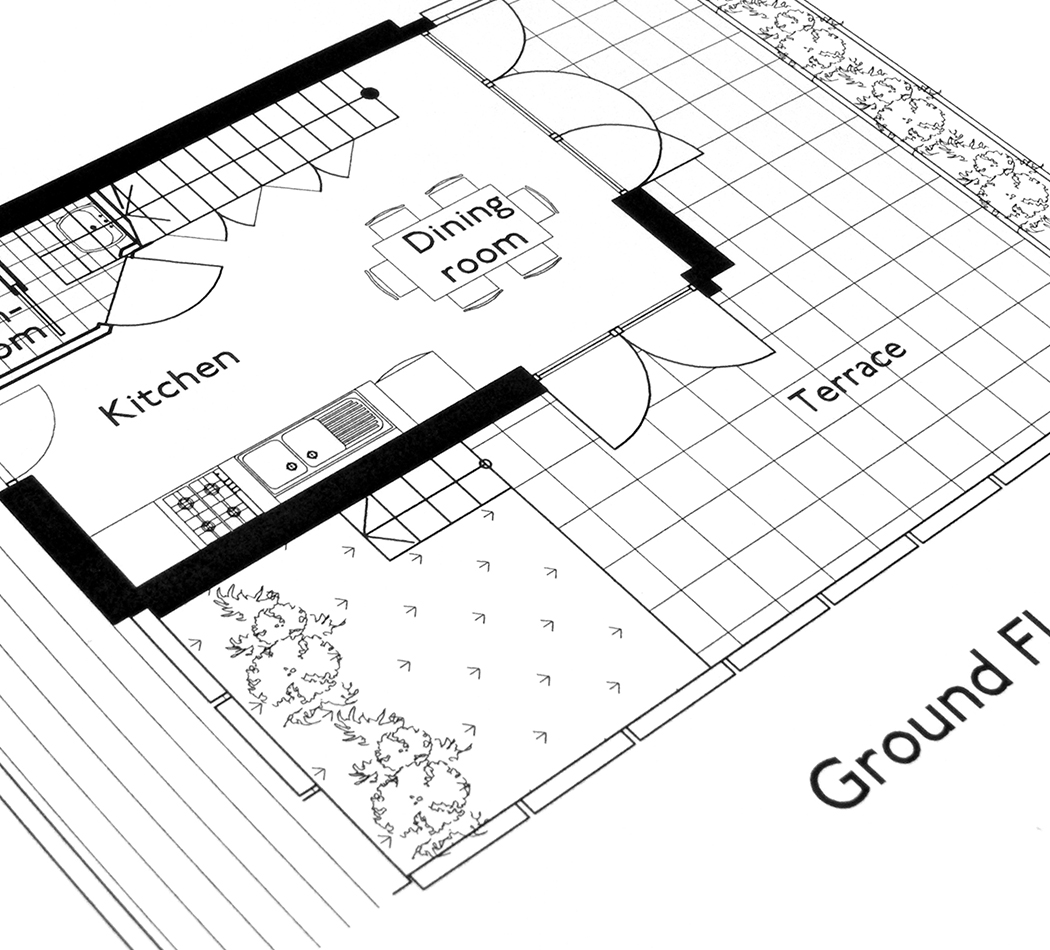
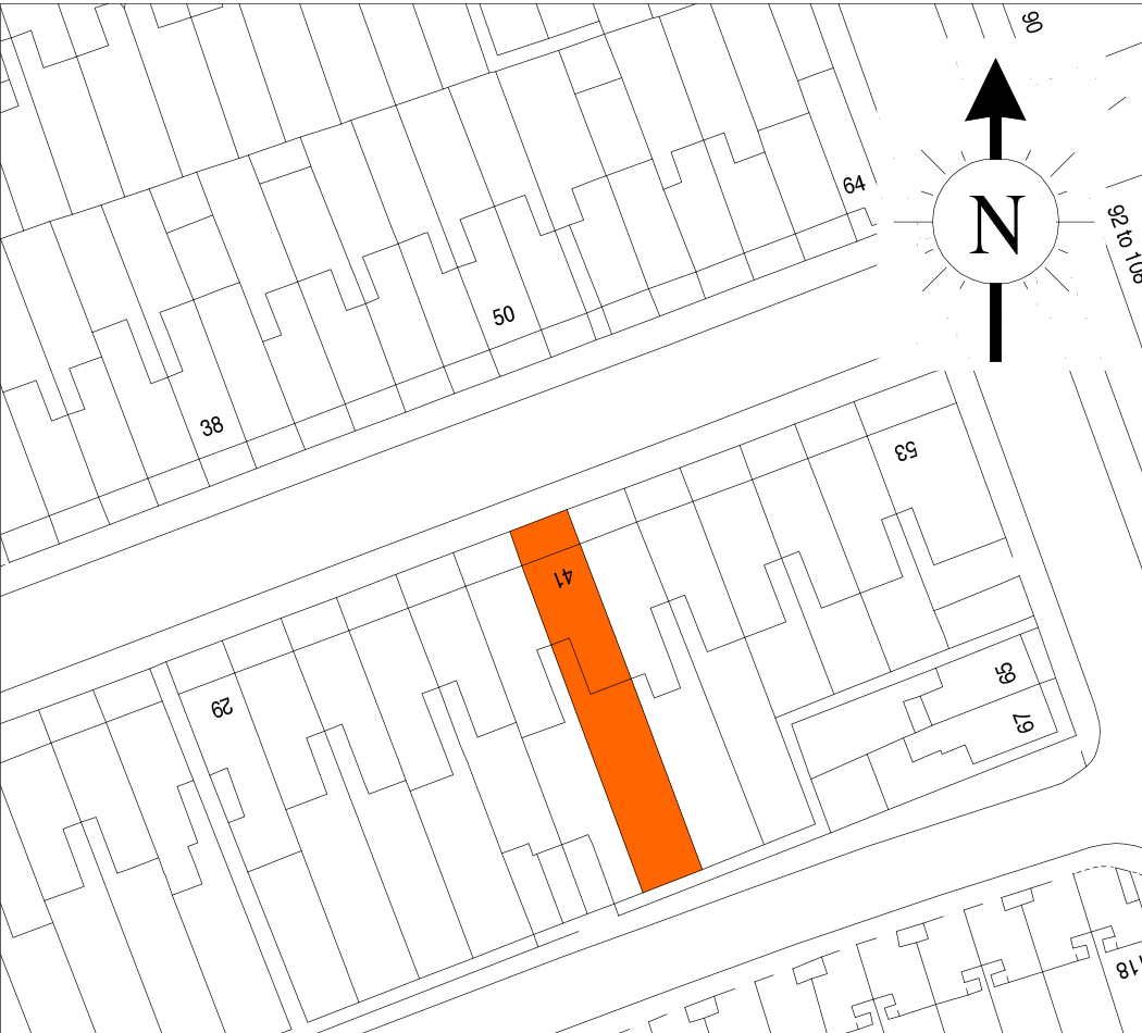
A lease plan primarily consists of a top-down blueprint-style map that depicts the dimensions of your property. It is essential for this map to align seamlessly with a government Ordnance Survey map, which records the layout of the surrounding area, including neighboring houses, roads, and fields. The lease plan serves as a piece of the jigsaw puzzle, integrating harmoniously with the Ordnance map. Whether for residential properties like houses and flats or commercial properties such as shops and offices, our comprehensive planning service covers every inch of the property.
Our highly experienced floor planners utilize digital laser measuring devices to ensure precise dimensions and deliver reliable lease plans. They visit the property to accurately depict its location, orientation, and scale. The resulting drawing is then professionally drafted into CAD format and promptly provided to you.